8,000+ ski tours on a 3D map that knows today's avalanche bulletin, snow and weather. See which slopes fit today, how long the climb takes and where the good snow is, before you leave the car.
3 days free, then 249 kr a year. Cancel any time.
vertexmaps.app
8,000+ski tours
10 mfresh satellite images
Dailyavalanche bulletins
1map for the whole day
Made for ski touring
From the sofa to the summit.
Find a tour, check today's conditions, plan your line and record the day. One app, one map.
Find your tour
8,000 tours. The right one for today.
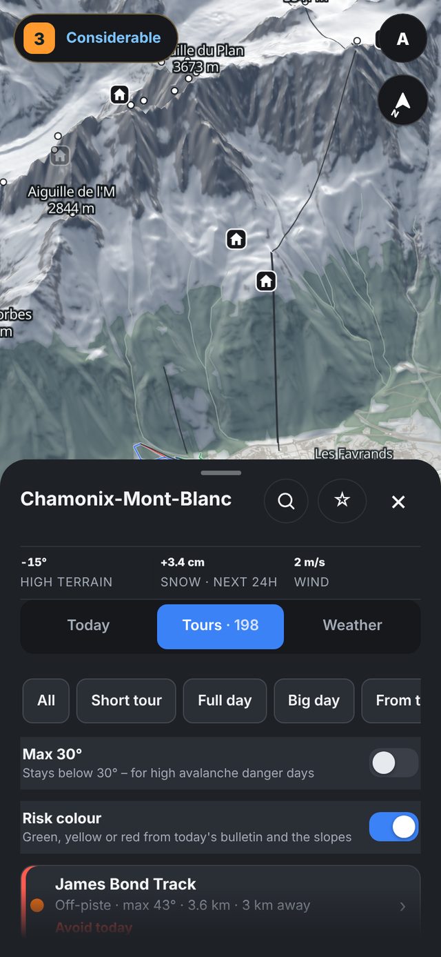
Search a valley and every tour around it shows up, from Camptocamp, OpenStreetMap and the Swiss Alpine Club. Filter for a short tour or a big day, keep it under 30° when the danger is up, or turn on Risk colour to see which tours fit today's bulletin.
Difficulty in piste colours
Today's danger on the tour's steepest slope
Honest times, up and down
Save the tours you want to do
Know today's conditions
Today's avalanche bulletin. One look.
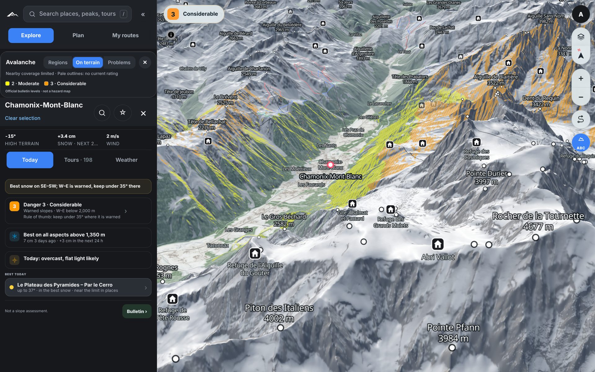
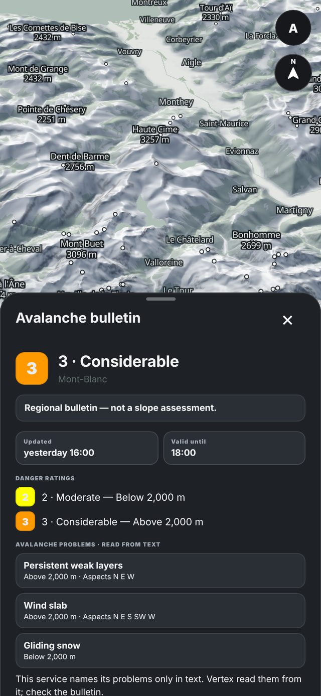
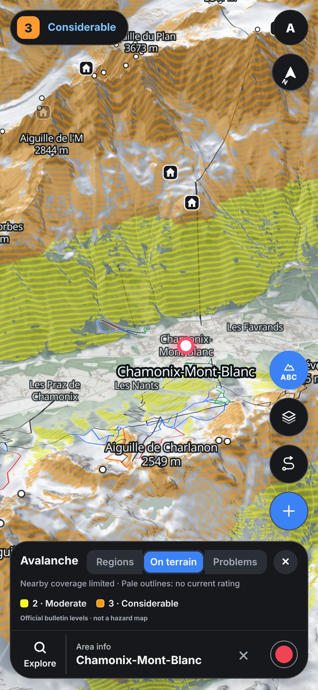
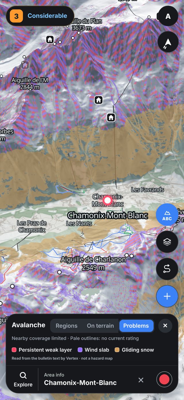
Open a place and you get the official bulletin: the danger by elevation, the avalanche problems and which aspects they are on. The same bulletin colours the slopes on the map, so you see exactly where it applies.
Official avalanche bulletins
Problems by aspect and elevation
Past bulletins for any day this season
vertexmaps.app
Read the terrain
See every slope before you're on it.
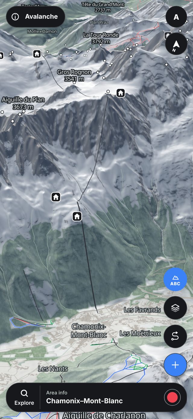
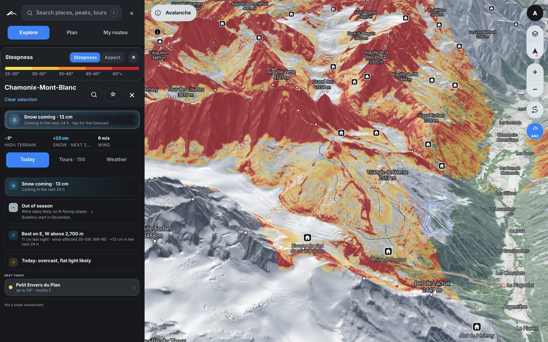
Colour the map by steepness or aspect, tilt it into 3D and look straight at the face you plan to climb.
Steepness from 25° to 45°+
Aspect in eight colours
Sun and shade through the day
vertexmaps.app
Plan your line
Tap the points. Get a line to check.
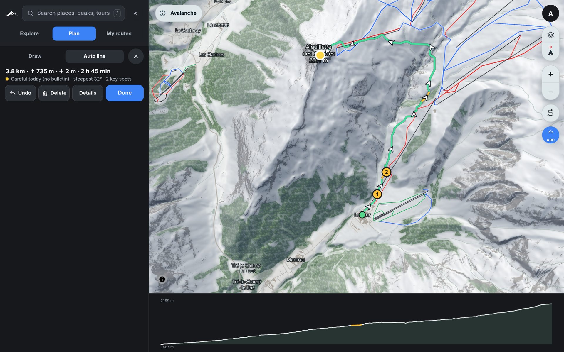
Draw your route, or let Auto line find a way between your points that keeps off today's steep slopes and follows ski touring tracks. The line turns yellow where it gets steep and red where today's bulletin says avoid, and the profile shows every metre of it.
Green, yellow and red for today
Climb, descent and time, as drawn
Save it and follow it on your phone
Snow from space
Where the snow is, this week.
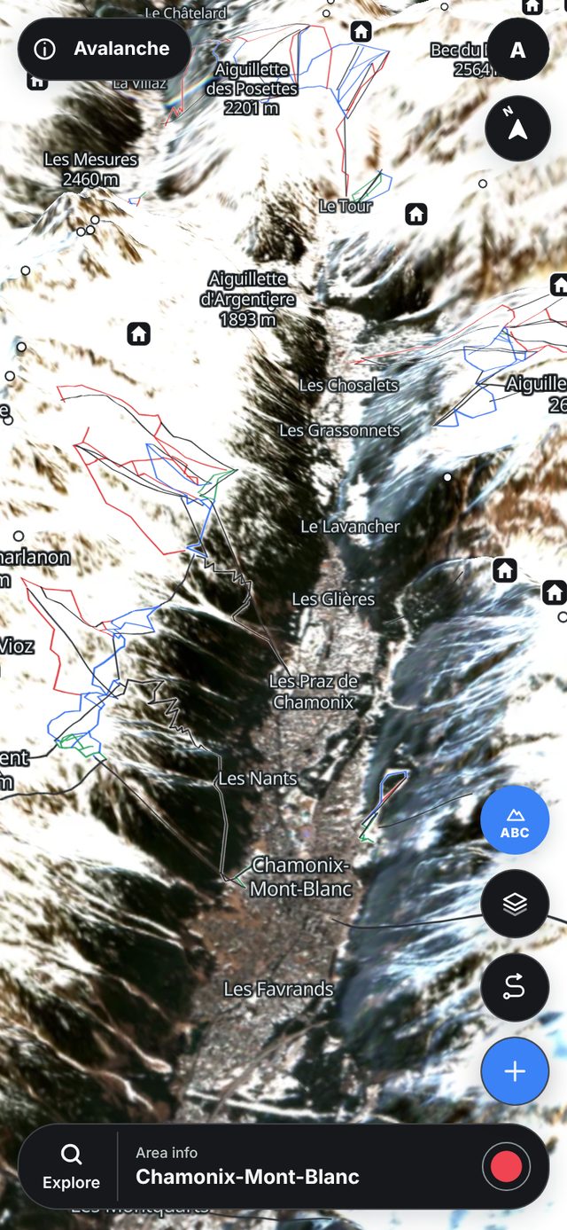
Turn on Snow image and you get the latest clear 10 m Sentinel-2 pass: where the snow lies and where it has melted out. Switch to Satellite for sharp summer detail of rocks, paths and huts.
Dated passes from the last 60 days
Cloud cover shown for every pass
Summer detail, one tap away
Record the day
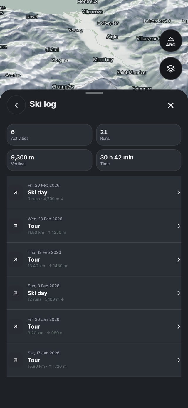
One tap to start. Every run in your ski log.
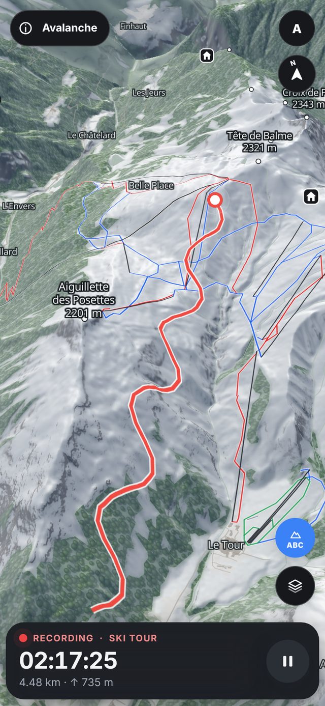
Choose Ski day or Ski tour and press Start. Your track, climb, descent and time go straight into your ski log.
Ski day and ski tour
Follow a planned route as you go
Season totals in your ski log
Only in RIPA
Layers you won't find anywhere else.
Today's bulletin, snow and weather, painted on the slopes themselves. Turn one on and the map shows exactly where it applies.
Avalanche on terrainThe bulletin's danger level on the slopes it warns about, by elevation and aspect.
Today's problemPersistent weak layer, wind slab, gliding snow: each problem on the slopes it applies to.
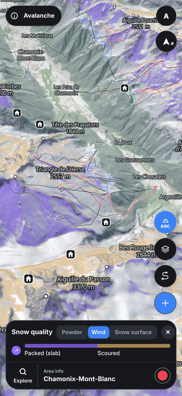
Wind slabsLee slopes where the last days' wind has had new snow to move.
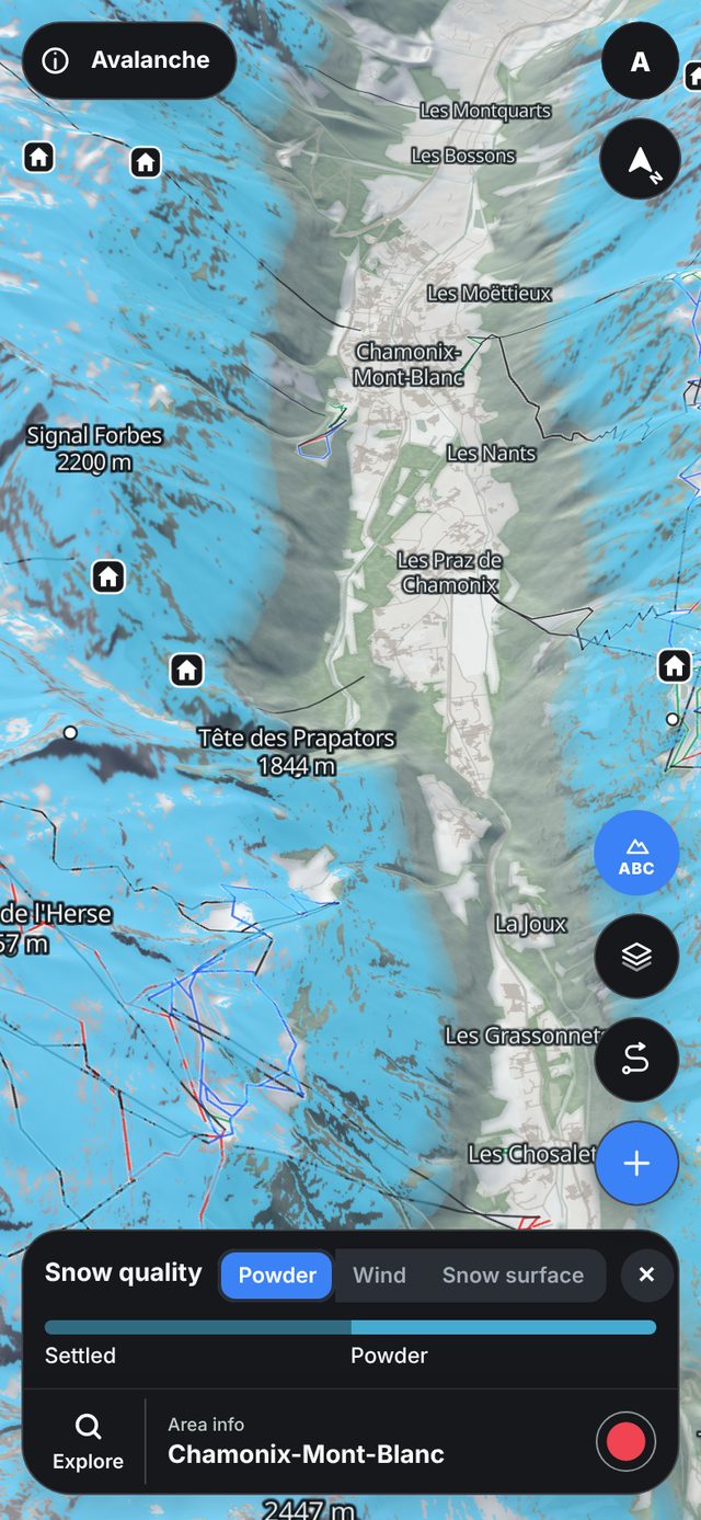
PowderWhere the last snowfall is most likely still dry, by aspect and above the snow line.
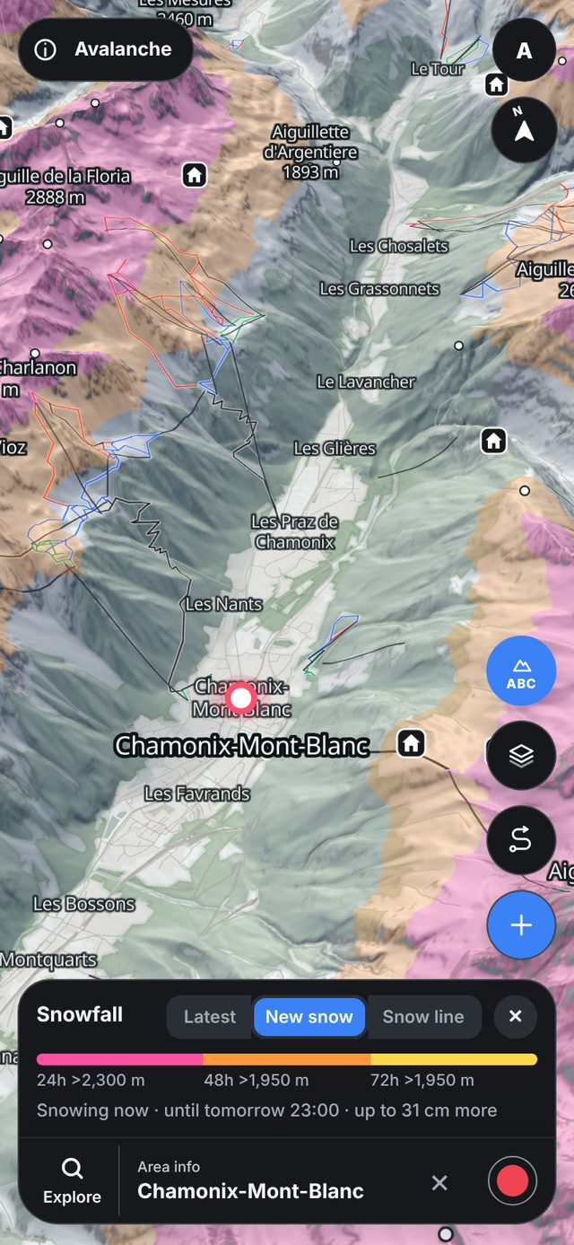
New snowHow much snow is coming in the next one to three days, and from which elevation it falls as snow.
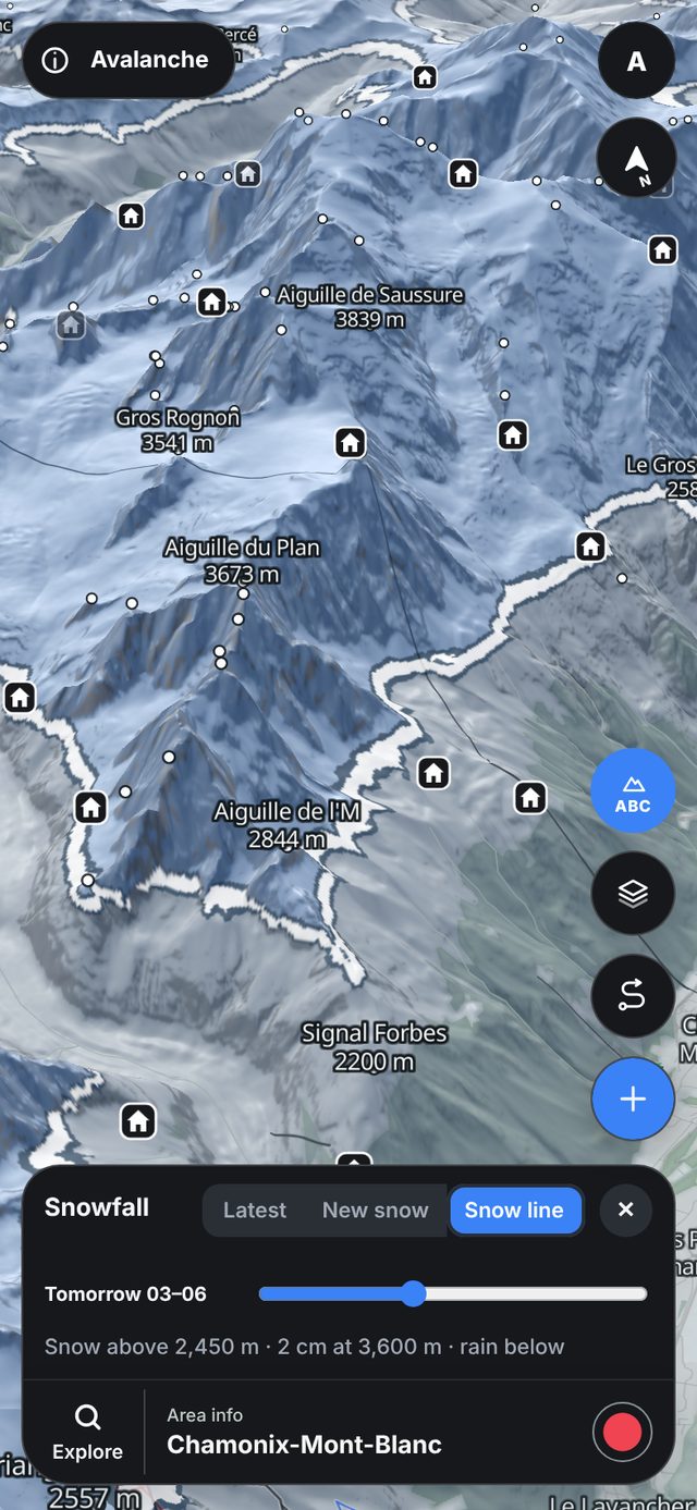
Snow lineWhere rain turns to snow, in three-hour steps for the next three days.
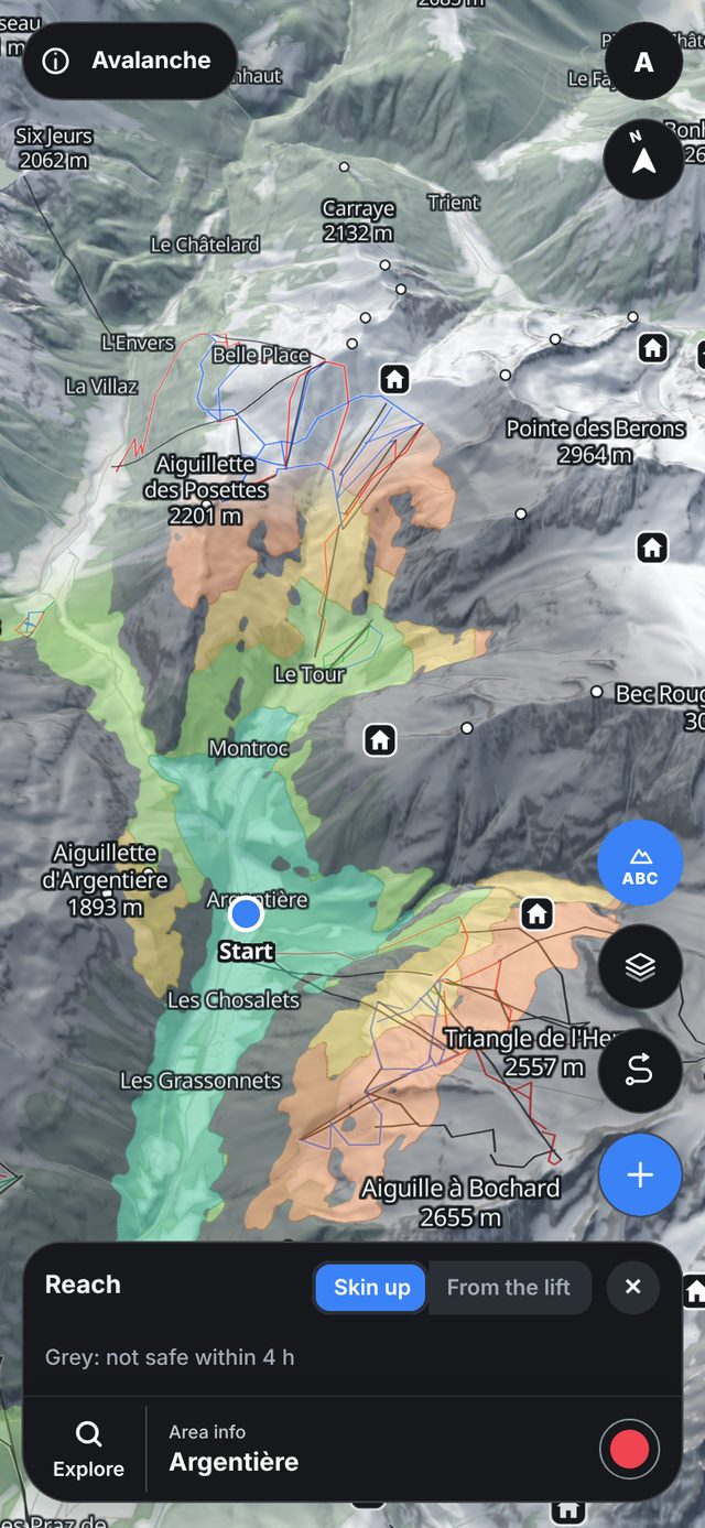
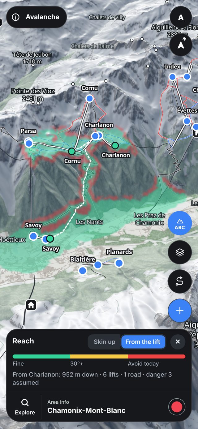
ReachHow far you can skin in one to four hours from your start, around slopes today's bulletin warns about.
From the liftTap a lift top and see where you can ski from it, and where each run ends.
A guide from the official bulletin and the weather, not a hazard map.
Weather made for skiing
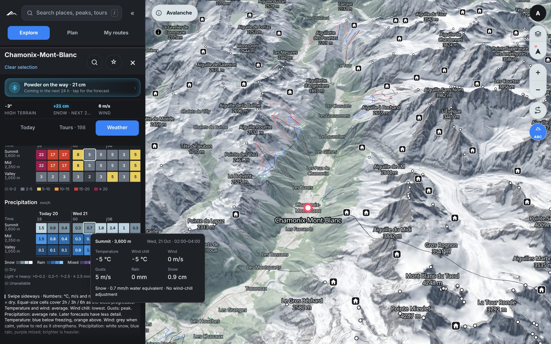
The forecast for every altitude.
Summit, mid-mountain and valley side by side, hour by hour and for the whole week. Colours show cold and warm, calm and storm, snow and rain at a glance; hover any square for the details.
vertexmaps.app
Powder Finder
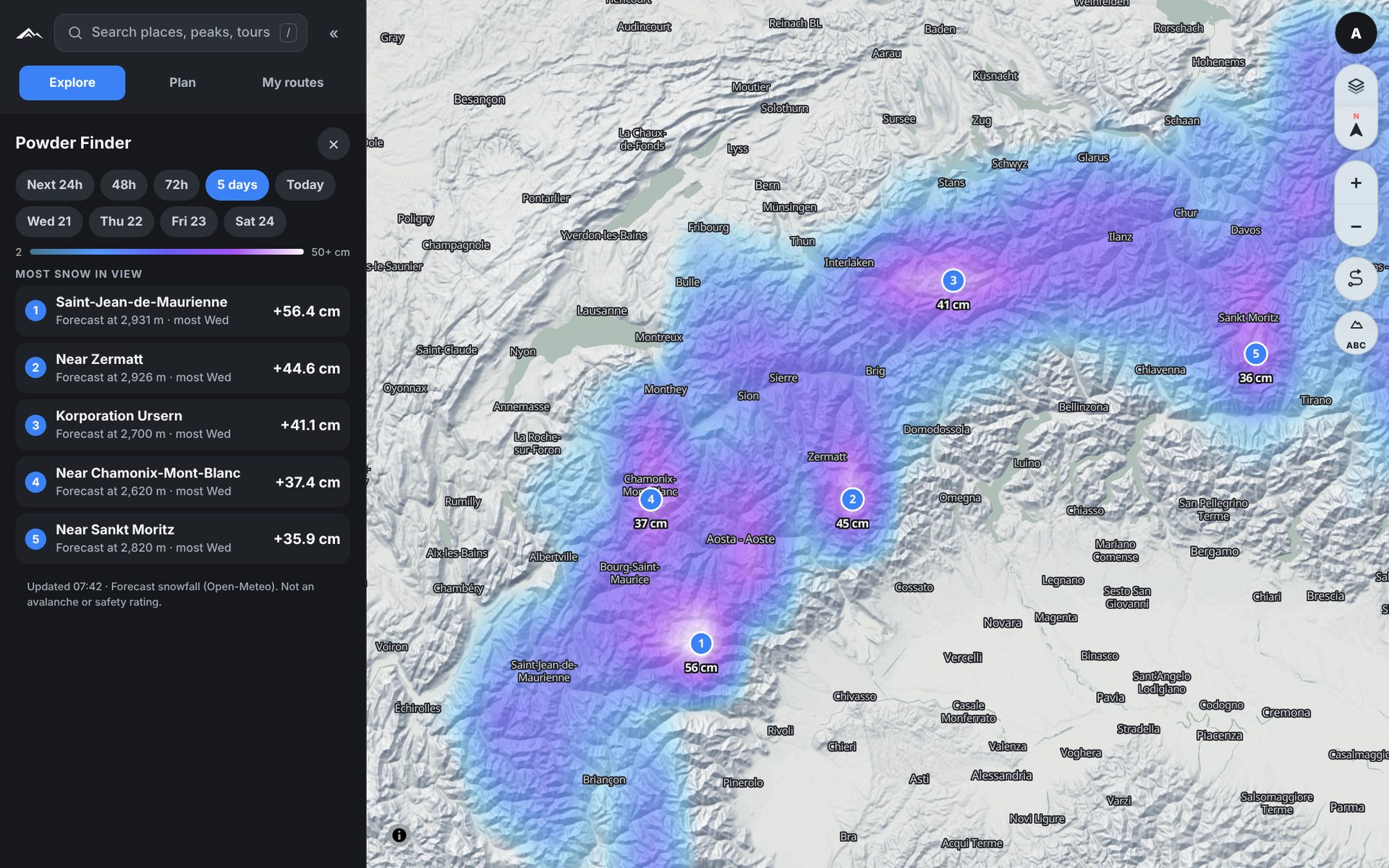
Know where the powder comes.
One map of the whole Alps with the snow on the way, for the next day or the next five. The places with most new snow are listed first; click one to go there.
vertexmaps.app
Avalanche, tour and Powder screenshots from Chamonix on 9 February 2026 with that day's bulletin, Wind slabs from 18 February and the snow image from 9 March. Weather, Powder Finder, new snow and snow line from the week of 20 October 2026. The recording and ski log show example data.
Pricing
Simple pricing. Everything included.
Every plan has every feature. Try it free first.
Free trial
3 days
Try the full app before you pay.
Best value
Year
249 kr/ year
The whole season and the summer planning too.
Week pass
79 kr/ 7 days
For one trip. Does not renew.
Ready for your next tour?
Create an account and find today's line. The iPhone app is coming soon.